Dapoli and the Konkan Coast: CRZ and Land Checks for Coastal Plots
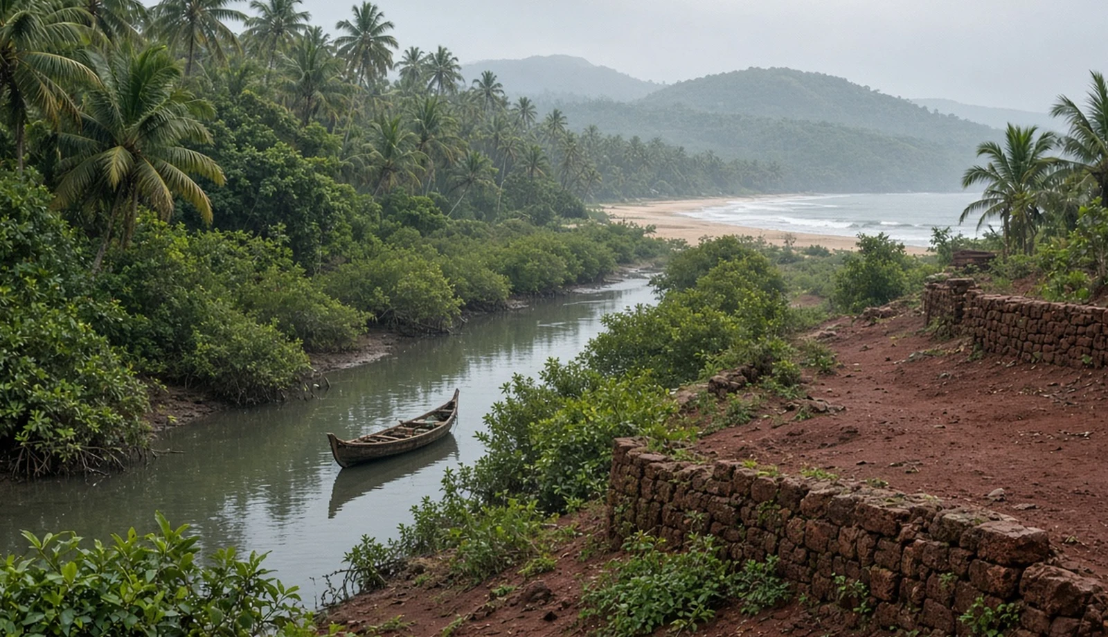
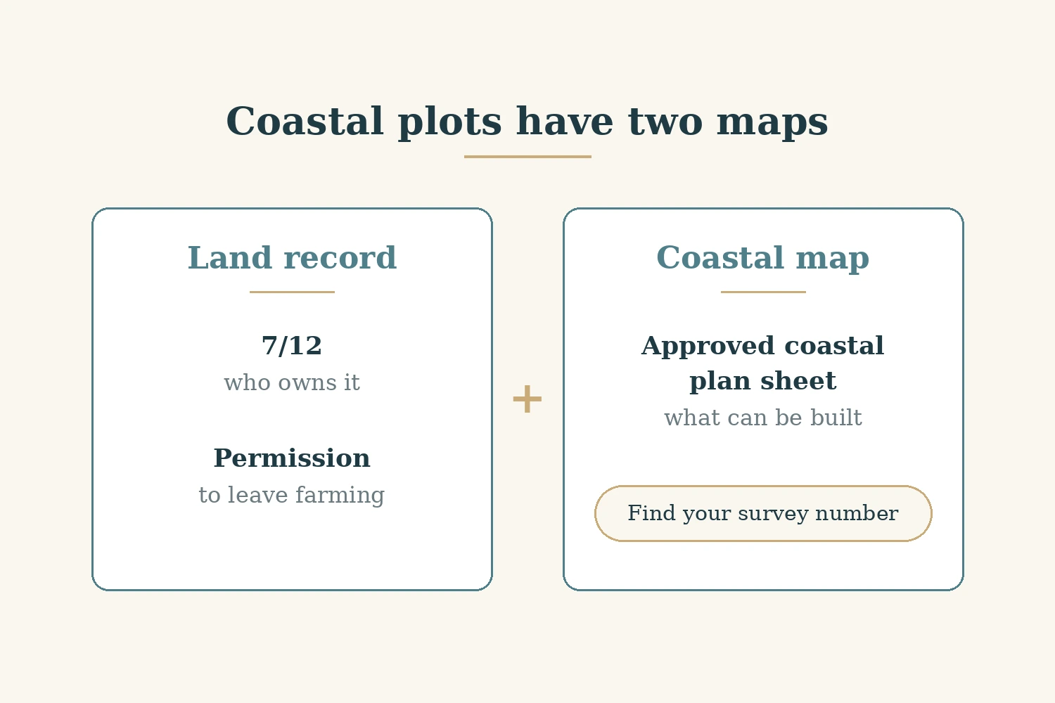
On the Konkan coast, a plot has two maps, and the seller usually shows you only one. The first is the land record: the 7/12 extract, which says who owns the land and how it is held, and the development permission that lets it leave farming. The second is the coastal map: the Coastal Zone Management Plan (CZMP) drawn under India's Coastal Regulation Zone (CRZ) rules. That second map decides what, if anything, can be built near the water, and a clean 7/12 does not override it. For a Mumbai or Pune buyer looking at a weekend plot near Dapoli or elsewhere on the Ratnagiri and Raigad coast, the phrase "outside CRZ" or "only 50 metres" is the seller's word until you have found the survey number on the approved plan sheet yourself. This guide explains what the coastal rules say, where the 50 metre and 200 metre lines come from, and how the land checks fit alongside them. Official points were read on 30 October 2026 unless stated. It makes no claim about prices, rents or future values.
What the CRZ notification covers, and its four categories
The current rules are the CRZ Notification, 2019, issued by the Ministry of Environment, Forest and Climate Change (MoEFCC) as General Statutory Rules (G.S.R.) 37(E) on 18 January 2019 and published in the Gazette of India. We read it from the Tamil Nadu State Coastal Zone Management Authority's hosted copy of the gazette notification (read 30 October 2026). The notification has since been amended, in 2021 by Statutory Order (S.O.) 4886(E) and in 2022 by S.O. 4648(E) to 4650(E), 5494(E) and 5495(E), as listed on MoEFCC's CRZ notifications page (read 30 October 2026).
Paragraph 1(i) applies the CRZ to land from the High Tide Line (HTL) to 500 metres landward along the sea front. The HTL is the line up to which the highest water line reaches during the spring tide, as demarcated by the National Centre for Sustainable Coastal Management. Paragraph 1(ii) also applies it along tidal water bodies connected to the sea, such as creeks and rivers, from the HTL to 50 metres or the width of the creek, whichever is less, once the state's CZMP under the 2019 notification is approved; until then, the limit is 100 metres or the width of the creek, whichever is less. That matters on a coast like Dapoli's, cut by creeks and rivers, but we could not confirm which stretches near Dapoli are covered.
Paragraph 2 sorts the zone into four categories:
- CRZ-I is the environmentally most critical land. CRZ-I A covers ecologically sensitive areas such as mangroves, and CRZ-I B is the intertidal zone between the low and high tide lines.
- CRZ-II is developed land up to or close to the shoreline within existing municipal limits or other legally designated urban areas, substantially built up and with drainage, roads and other services.
- CRZ-III is land that is relatively undisturbed, such as rural areas, and not in CRZ-II.
- CRZ-IV is the water area.
Rural coastal villages will often fall in CRZ-III, but the plan decides the category, not the village name. Paragraph 3.1 also names "Malvan, Achra-Ratnagiri" among the Critically Vulnerable Coastal Areas without mapping it; the approved plan sheet decides whether a plot falls in it.
CRZ-III A or III B: 50 metres or 200 metres
Inside CRZ-III, the notification sets a No Development Zone (NDZ) measured landward from the HTL, and its width depends on which of two sub-categories the land falls in. This is the point most often misreported.
CRZ-III A
Paragraph 2.3.1 designates as CRZ-III A those densely populated CRZ-III areas with a population density of more than 2,161 per square kilometre, on the 2011 census base. There, land up to 50 metres from the HTL is the NDZ, provided the CZMP under the 2019 notification has been approved; failing that, an NDZ of 200 metres continues to apply.
CRZ-III B
Paragraph 2.3.2 designates all other CRZ-III areas, with a population density of less than 2,161 per square kilometre, as CRZ-III B. There, the NDZ stays at 200 metres from the HTL.
So the 50 metre NDZ applies only to CRZ-III A areas under an approved CZMP. CRZ-III B land stays at 200 metres. Paragraph 2.3.3 adds that in CRZ-III, land up to 50 metres from the HTL, or the width of the creek if less, along tidal water bodies is also NDZ. We do not say which Dapoli villages are III A or III B, or which creeks carry the 50 metre line: we could not confirm either from an official source. Find your survey number on the approved plan sheet.
What can be built inside and beyond the NDZ
Paragraph 5.3 of the notification sets the rules for CRZ-III. Inside the NDZ, it allows no construction except a short list, including repair or reconstruction of existing authorised structures within their existing floor space, plinth and density; dwelling units of traditional coastal communities including fisherfolk; agriculture, gardens, parks and forestry; and some public facilities and temporary tourism facilities under conditions. A new holiday home for an outside buyer is not on that list.
Beyond the NDZ in CRZ-III, paragraph 5.3(iii) allows, among other things, dwelling units within traditional rights and customary uses, subject to local town planning rules, with a height of no more than 9 metres and only ground plus one floor. It also allows local communities, including fishermen, to facilitate tourism through "home stay" without changing the plinth area, design or facade of their existing houses. That line is about existing houses of local communities. It is not a route for a new buyer's new build. Our guide to homestay and farm stay licensing in India covers the separate licensing rules.
The approved plan, and who clears what
Paragraph 6 explains why the plan matters so much. Under paragraph 6(i), each coastal state must revise its CZMP under the 2019 notification and submit it to MoEFCC for approval, and until it is revised, the 2019 provisions do not apply and the plan under the 2011 notification continues. Paragraph 6(iii) has states prepare the plans on 1:25,000 scale maps with public consultation.
For Maharashtra, MoEFCC's CRZ notifications page lists CZMP approval letters under the 2019 notification dated 29 September 2021 and 25 August 2023 (read 30 October 2026). The plan sheets themselves are published by the Maharashtra Coastal Zone Management Authority (MCZMA), but MCZMA's own pages would not open on 30 October 2026, returning a blank shell or "Not Found". Check MCZMA's site yourself for the approved Ratnagiri or Raigad sheet, and find your survey number on it.
On clearance, paragraph 7(vi) says that self-dwelling units up to a total built-up area of 300 square metres are approved by the local authority without a recommendation from the coastal authority, but that authority must still examine them against the notification. Other activities need clearance under paragraph 7. We do not give timelines or procedures for a private house, because we could not confirm them from an official source.
The land side: 7/12, mutation and development permission
The coastal map tells you what can be built; the land record tells you who owns the land and how. In Maharashtra, the 7/12 extract and the 8A holding record can be viewed on the state's Mahabhulekh portal, and digitally signed copies and mutation records are available through the state's digital 7/12 portal (both live on 30 October 2026). Read the mutation history, known locally as ferfar, as well as the current entries. If the plot is sold as part of a managed farmland scheme, our guide to managed farmland contracts and land law by state covers the contract side.
Turning farmland into non-agricultural (NA) use has changed. A Government Resolution of the Revenue and Forest Department dated 10 February 2026, implementing the Maharashtra Land Revenue Code (Second Amendment) Act, 2025, sets out the new section 42: where the use is allowed under the planning rules, the planning authority may give development permission, and land held other than in Class-I occupancy does not change its occupancy status merely because development permission is given (Government Resolution, read 30 October 2026). Our guide to the Maharashtra Land Revenue Code explains the change, our guide to stamp duty and registration by state covers the cost of registering the sale, and our pre-payment due diligence guide covers the checks before you pay anything.
A development permission does not answer the coastal question, and a CRZ answer does not fix a weak title. You need both. In practice, that means asking the seller for four things before you discuss price: the survey and sub-division numbers, the current 7/12 and 8A, the mutation entries that show how the seller came to hold the land, and any development permission or layout approval. With the survey number in hand, you can look for it on the approved CZMP sheet and on the land portals yourself, rather than relying on a summary from the seller or the broker. If the seller cannot or will not give you the survey number, that is itself an answer. The same applies to plots offered inside a larger layout: the layout's approval is one paper, and each plot's own 7/12 is another, and both should name the same land.
Our Dapoli listings
As listed on avacasa.life on 30 October 2026, we have 5 Dapoli listings filed under the city Dapoli, plus 1 filed under the city "Konkan" at Dapoli coordinates, so 6 in all. None of them states a CRZ category, and only one names any papers: the Tathastu Sea Breeze Phase 2 listing names a demarcated final residential layout, M.R. No. 129 of 2022, and an individual 7/12 extract for each plot. Those are the papers to ask for and read, alongside the CZMP sheet; a named paper is a starting point, not an answer, and we have not looked any of them up. Our other Maharashtra listings in Pali, Khopoli and Kusur are inland, so the coastal rules in this guide do not apply there.
Our Dapoli guide, Ratnagiri guide, Alibaug guide and Harihareshwar guide describe coastal places, and our Maharashtra guide covers the state. Our guide to Bali coastal setback checks shows the same method, reading the line off the plan, in another market.
Who this is not for
This is not a guide to whether a Konkan plot is a good purchase, or to prices, rents or future values; we make no such claims. It does not say which villages are CRZ-III A or III B, which creeks carry the 50 metre line, or which plan sheet covers any place, because we could not confirm those from an official source. It does not cover clearance timelines, roads or other infrastructure, or inland plots, where the coastal rules do not apply. And it is not legal advice: for a specific purchase, a lawyer in Maharashtra should read the documents.
Where that leaves you
On the Konkan coast, check the coastal map before the land papers seem to settle anything. In order: find the survey number on the approved CZMP sheet and read its category and the NDZ line; read the 7/12, 8A and mutation history; confirm the development permission and the occupancy class; and, on signing day, check the records again. Our site visit checklist, our questions before signing a land deal and our land documentation checklist cover the rest. If the sheet, the 7/12 and the permission agree, you have a basis to proceed. If any is missing or unclear, ask MCZMA or the planning authority in writing before any money moves.
Sources
- Tamil Nadu State Coastal Zone Management Authority: copy of the gazette notification, CRZ Notification 2019, G.S.R. 37(E), 18 January 2019
- MoEFCC Environment Clearance: index of CRZ notifications, listing the 2019 notification's amendments and the Maharashtra CZMP 2019 approval letters, read 30 October 2026
- Maharashtra Coastal Zone Management Authority: CZMP page
- Maharashtra Revenue and Forest Department: Government Resolution of 10 February 2026 on the Land Revenue Code amendment
- Mahabhulekh: 7/12 and 8A records
- Digital 7/12 portal
Ready to find your next holiday home?
Browse our curated collection of vacation homes and managed farmland across India and beyond.