Neighbourhood Guide: Uluwatu and the Bukit
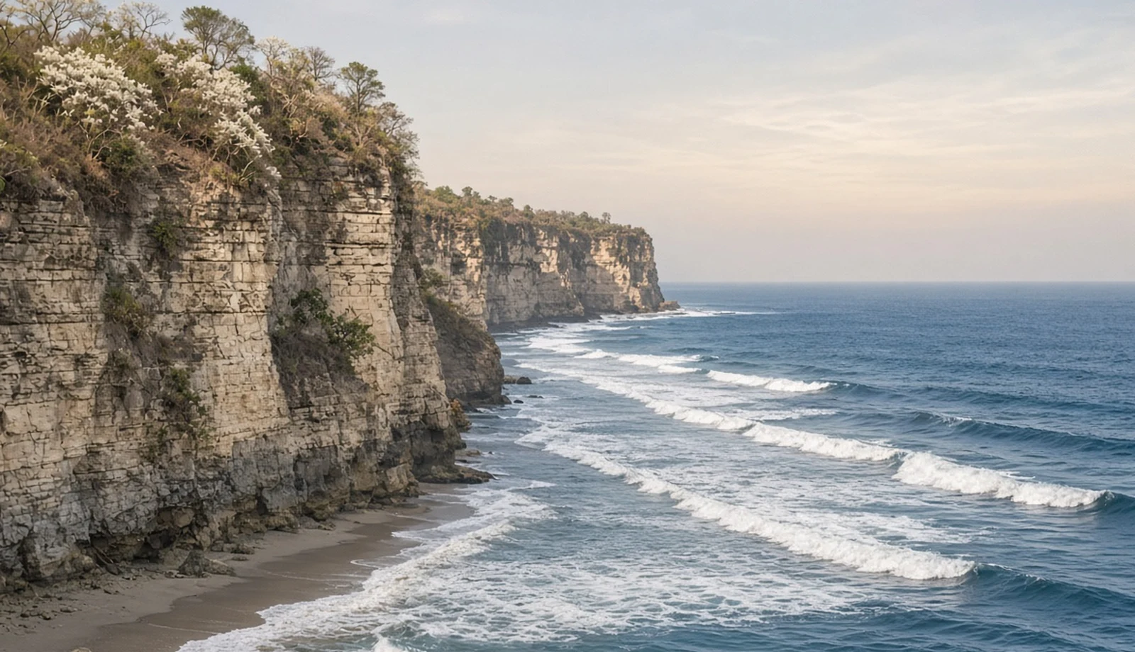
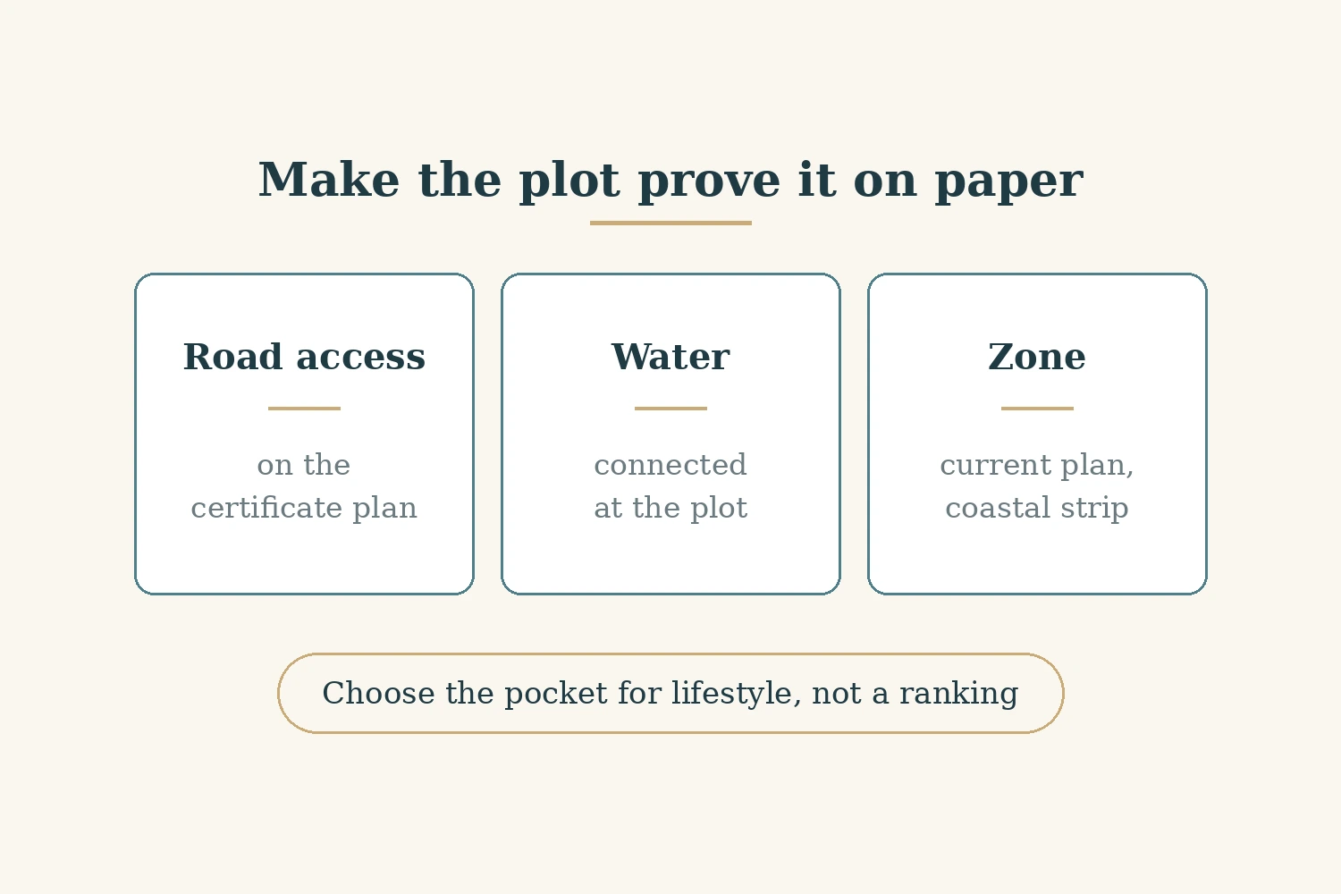
The Bukit is the limestone peninsula at Bali's southern tip, and on a map it looks like one place. For a buyer it is not. Uluwatu, Bingin, Padang Padang, Balangan, Ungasan, Nyang Nyang and the beaches further east sit under one regency's plan, but they differ in three things you can actually check on paper: which road reaches the plot, whether piped water reaches it, and where the coastal and cliff strip falls. This guide is for a Non-Resident Indian (NRI) or other Indian buyer weighing a villa or plot there. It does not rank the pockets. Pick a pocket for the life you want there, then make the plot prove its road, its water and its zone. As listed on avacasa.life on 31 October 2026, we had 328 listings across the Bukit's pockets. It is general information, not legal advice.
The Bukit in one paragraph
Administratively, the Bukit sits in the Kuta Selatan district of Badung regency, and takes in villages including Pecatu, Ungasan, Kutuh and Jimbaran. In general terms, and not as a sourced description, the western and southern edges are cliffs with beaches reached by lanes and stairs, the interior is a dry limestone plateau, and Jimbaran on the northern neck is closer to the airport and the rest of south Bali. That geography is why the same three checks matter everywhere on the peninsula, even though the answers differ plot by plot. Our Bali guide and Uluwatu guide cover the wider picture, and our Nusa Dua guide covers the eastern side of the peninsula.
Which spatial plan applies now
Badung regency has a new spatial plan. Its Peraturan Daerah (Perda), or regional regulation, No. 4 of 2025 on the Rencana Tata Ruang Wilayah (RTRW), the regency spatial plan, for 2025 to 2045 was set, promulgated and came into force on 21 April 2025 (Badan Pemeriksa Keuangan (BPK) legal database, read 31 October 2026). Its recital says the earlier Perda No. 26 of 2013 on the 2013 to 2033 plan no longer fits current conditions and the law and needs replacing, and the new plan lists the Bali provincial spatial plan, Perda Bali No. 2 of 2023, among its legal bases. The Bali provincial spatial planning office's status table also records Badung's plan as set on 21 April 2025 as Perda No. 4 of 2025 (Bali provincial status table, read 31 October 2026).
The practical point is simple: any zoning answer a seller gives from the 2013 plan is out of date. Ask for a zoning reading under the 2025 plan for the exact parcel. We could not confirm from an official source the zone, setback or cliff figures the new plan sets for any Bukit pocket. A detailed spatial plan, the Rencana Detail Tata Ruang (RDTR), for Kuta Selatan was set by Regent's Regulation (Perbup) No. 59 of 2021, and the provincial status table records all six of Badung's RDTRs as integrated with the Online Single Submission (OSS) licensing system (Bali provincial status table, read 31 October 2026). Both matter for which permit route a plot takes, so ask your notary to check.
The coastal strip has a national floor. Law No. 1 of 2014 defines the coastal border, sempadan pantai, as land along the shore whose width is proportional to the shape and physical condition of the coast, at least 100 metres from the highest tide point landward (Law No. 1 of 2014, read 31 October 2026). Presidential Regulation (Perpres) No. 51 of 2016 repeats that minimum and, under article 2(2), requires each regency with a coast to set its coastal border line in its own spatial plan (Perpres No. 51 of 2016, read 31 October 2026).
So the hundred metres is a minimum from the tide line, not the answer for a given plot, and on a cliff coast the measured line can fall in a different place from where a brochure suggests. The regency's 2025 plan is where Badung's line is set, and we could not confirm its figures. Our guide to coastal setback and site plan checks in Bali explains which papers show where a parcel sits against that line.
Uluwatu and Pecatu
Uluwatu and Pecatu sit at the south-western end of the peninsula, around the main road to the Uluwatu temple. Two pieces of regency work here are worth knowing about, each at a specific stage.
- The Uluwatu to Pasar Desa Adat Pecatu road: funded. Badung's 2026 procurement plan lists its construction as a tender of IDR 7.28 billion under the regency's 2026 budget, in a plan entry dated 12 May 2026 (Badung procurement plan, read 31 October 2026). We could not confirm from an official source the stage of its land acquisition or works.
- The cracked-cliff works at Pura Uluwatu: funded. Badung's 2026 procurement plan lists "Penanganan Tebing Retak di Pura Uluwatu", the handling of the cracked cliff at Pura Uluwatu, as a construction tender of IDR 40 billion, in Indonesian rupiah (IDR), under the regency's 2026 budget, in a plan entry dated 29 July 2026 (Badung procurement plan, read 31 October 2026).
Neither item says anything about prices, and we make no claim that it will. For a plot here, the paper check is road frontage: does the certificate plan show the parcel on the main road or on a registered lane? Our Pecatu guide covers the area.
The western cliffs and the Jimbaran side
Bingin and Padang Padang sit on the western cliffs, and in general terms are known for steep lanes and stairs down to the beach. That character is our description, not a sourced fact, but it points to the check that matters most here: legal access. A path that people walk every day is not the same as a road on the land certificate. Ask for the certificate's plan and check that it shows frontage on a lane the parcel has a right to use, and that the lane is wide enough for what you intend to build. Then walk it yourself with our plot site visit checklist. Our Bingin guide covers the area.
Balangan lies further north on the western coast, and Jimbaran on the neck of the peninsula faces the bay towards the airport. Again in general terms, these pockets feel closer to the rest of south Bali than the far south does. As listed on avacasa.life on 31 October 2026, we had no listings recorded under Jimbaran itself. The same three checks apply: road on the certificate plan, water at the parcel, and the parcel's zone under the 2025 plan, including the coastal strip if it fronts the sea. Our Balangan guide and Jimbaran guide cover the areas, and our guide to eating out in Bali covers the other kind of research.
Ungasan, Nyang Nyang and the eastern beaches
Ungasan, Nyang Nyang and the beaches further east, such as Melasti and Pandawa, sit on the southern and south-eastern cliffs. The regency has budgeted a new road here. Badung's 2026 procurement plan lists the construction of segment 4 of the Jalan Lingkar Selatan (JLS), the southern ring road, between Labuan Sait and Pedati, as a construction tender of IDR 68.84 billion under the 2026 budget, in a plan entry dated 20 February 2026 (Badung procurement plan, read 31 October 2026). On the status ladder that makes it funded. We could not confirm from an official source that it is under construction, so we do not say it is.
For a plot here, check the access road on paper rather than relying on the planned ring road, and check the zone and cliff strip under the 2025 plan. Our Ungasan guide and Nyang Nyang guide cover the area.
Water on the Bukit
Water is the check that most often decides how a home on the Bukit works day to day, and it is the one where we have least official material. Piped supply in Badung comes from the regency water company, Perusahaan Umum Daerah (Perumda) Tirta Mangutama, often referred to by the older term Perusahaan Daerah Air Minum (PDAM); other homes rely on tank deliveries or bores. We could not confirm from an official source how far piped supply reaches in Pecatu, Ungasan or other pockets, or how reliable it is, and we do not repeat figures from news reports.
What you can check is the parcel. Ask for proof of a piped water connection at the plot itself, not on the street, and ask the seller or developer in writing how the home is supplied when piped water is not available, including whether it depends on tank deliveries. If a bore is mentioned, ask what permission it has. Our Bali due diligence checklist and questions to ask before signing a land deal cover how to get those answers on paper.
The paper checks, and what we list
Whatever the pocket, the same papers carry the answers. Start with the land certificate and its plan: our guides to checking a land office certificate and Indonesian land title types explain what each type of title lets a foreign buyer hold, and our guides to owning property in Indonesia as a foreigner, ownership through a foreign investment company, a Perseroan Terbatas Penanaman Modal Asing (PT PMA) and how Indians buy property in Bali cover the structures. Then check the zone under the 2025 plan, the road on the certificate plan, and the water connection at the parcel. For a villa still being built, our guide to reading project status explains what a stage label does and does not prove.
As listed on avacasa.life on 31 October 2026, we had 328 listings across the Bukit's pockets, out of 343 in Indonesia. By pocket: Bingin 61, Ungasan 52, Uluwatu 48, Nyang Nyang 33, Nunggalan 28, Padang Padang 23, Pandawa 23, Balangan 23, Melasti 19, Dreamland 17 and Pecatu 1. The same project often appears under more than one pocket, so these are listings, not separate projects: the 328 carry 235 distinct titles. By the sellers' own status labels, 225 were marked under construction, 101 completed and 2 ready to move. Listed prices ran from INR 82.17 lakh to INR 16.6 crore, in Indian rupees (INR), with four listings priced in US dollars, as listed on avacasa.life on 31 October 2026. Because projects repeat across pockets, the ranges overlap and say little about one pocket against another.
Who this is not for
This is not legal advice, and it does not replace a notary and a land office search for your parcel. It gives no zone, setback or cliff figure for any pocket, because we could not confirm them from the 2025 plan. It does not cover national roads or the airport, water supply figures, or how any project is run. It does not rank the pockets or say what any of them will be worth. If you need to know whether a particular plot can be built on, only the plan, the certificate and the permits for that plot can tell you.
Where that leaves you
The Bukit is one peninsula under one plan, and since 21 April 2025 that plan is Badung's 2025 to 2045 spatial plan, so make sure any zoning answer comes from it. Choose the pocket for the life you want, then ask the plot to prove three things on paper: a road it has a right to use, water at the parcel, and a zone and coastal position that allow what you plan to build. Treat the regency's road and cliff works at the stage the official record shows, and nothing more. This is general information, not legal advice.
Sources
- BPK legal database: Perda Kabupaten Badung on the RTRW 2025 to 2045
- Bali provincial spatial planning: status of RTRW and RDTR across Bali
- Ministry of Finance legal database: Law No. 1 of 2014 amending Law No. 27 of 2007 on coastal areas and small islands
- National Legal Development Agency: Perpres No. 51 of 2016 on coastal border lines
- Badung regency: 2026 procurement plan, Public Works and Spatial Planning Office tenders
Ready to find your next holiday home?
Browse our curated collection of vacation homes and managed farmland across India and beyond.